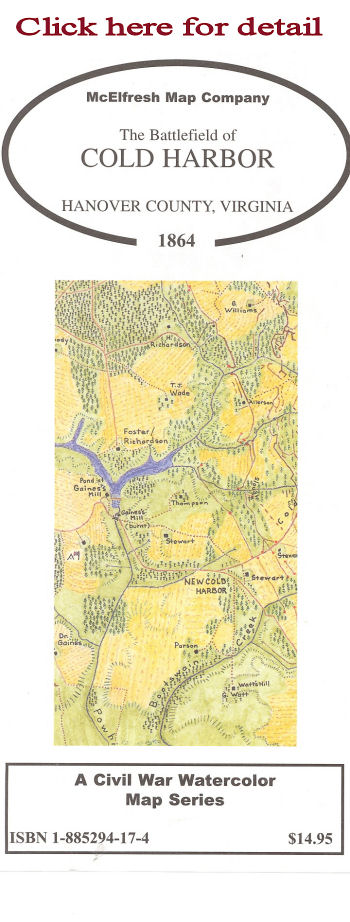
The Battlefield of Cold Harbor, Hanover County, Virginia, 1864

The last hurrah of the Army of Northern Virginia. From here on in, in Robert E. Lee's words, "It was just a matter of time."

- Scale: 1"=2,720'
- Map Image: 151/2" x 17"
- Overall size: 18" x 28"
Description: Water color map showing roads, ferries, residences, woods, farm fields, and entrenchments. Map includes New Castle Ferry, Haw's Shop and approaches to the core battlefield.
Reverse Side: Photographs of Union topographical engineers William Henry Paine and Washington Roebling. Also included is a full color reproduction of a Union theater map of maneuvers of North Anna River to Cold Harbor. The text includes a monograph describing Union Mapping at Cold Harbor
ISBN: 1-885294-17-4
Retail Price: $14.95
20th Anniversary Special: $7.50
Packaged in reusable sleeve.
A History Book Club Selection
Copyright © 1999- 2011 McElfresh Map Co., LLC. All rights reserved.
|

