McElfresh Map Company Legend      
Tammy Norie Press
McElfresh HomepageMcElfresh Map Company mapAbout McElfresh Map CompanyMcElfresh Map Company mapMcElfresh Map Company NewsMcElfresh Map Company mapOrder McElfresh MapsMcElfresh Map Company mapMcElfresh Map GalleryMcElfresh Map Company map

Freedom's Tracks: A Map of the Underground Railroad

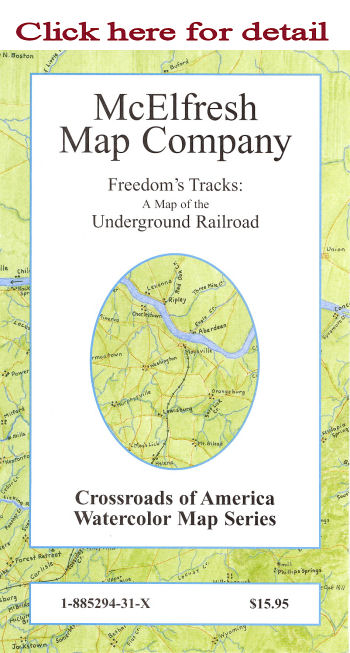
This map offers an overview of the nebulous but very real system that transported fugitive slaves to freedom and relative safety in the Northern States and Canada.

  • Principal Map Scale : 1"=57 miles
  • Detail Maps: Various scales
  • Map Image: 31" x 21"
  • Overall size: 33" x 22"

Description: Stretching from Eastern Nebraska and Kansas to North Carolina and Maine and up into the British Possessions and Canada, the routes of the Underground Railroad are documented and graphically reproduced. Photographs of certified Underground Railroad "stations" and detail maps of the most prominent places and episodes of the Underground Railroad are included.

ISBN: 1-885294-31-x
Retail Price:$15.95
20th Anniversary Special: $8.00
Packaged in reusable sleeve.

A History Book Club Selection

Copyright 1999-2011 McElfresh Map Co., LLC. All rights reserved.

    © Copyright McElfresh Map Company  


  home | about us | news | order | gallery          McElfresh Map Company         wholesale info | links | sitemap |search  
Civil War Maps                                                    Mapping Where Americans Made History™                                                    Battlefield Maps

The McElfresh Map Company Specializes in Civil War Watercolor Maps, and has created The American
Battlefield Watercolor Map Series
, The World Battlefields Watercolor Map Series & The Crossroads of American History
Designed by blumenthals.com
Blumenthals Olean, NY & Braford, Pa