McElfresh Map Company Legend      
Tammy Norie Press
McElfresh HomepageMcElfresh Map Company mapAbout McElfresh Map CompanyMcElfresh Map Company mapMcElfresh Map Company NewsMcElfresh Map Company mapOrder McElfresh MapsMcElfresh Map Company mapMcElfresh Map GalleryMcElfresh Map Company map

Lewis & Clark and The Louisiana Purchase 1803-1806

This map documents the most momentous transition in American History.

  • Scale : 1"=75 miles
  • Map Image: 36" x 23"
  • Overall size: 38" x 25"

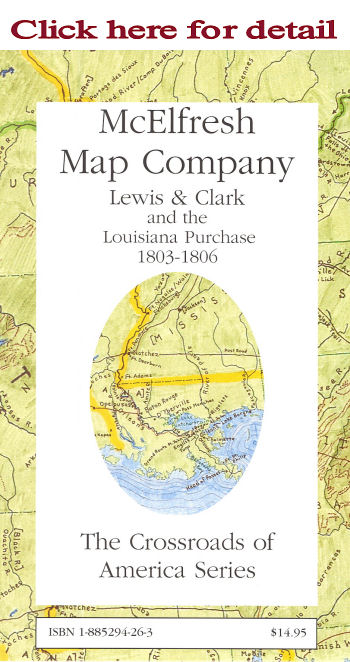
Description: This map traces the principal Indian trails and paths, as well as the established Post Roads, Pioneer routes, King's highways and other thoroughfares that constituted the transportation network, circa 1804, of what became the contiguous United States of America. Also outlines and highlights the area and places of the Louisiana Purchase as will as the route of Lewis and Clark. The reverse side contains photographs and accounts of the early road system of North America.

ISBN: 1-885294-26-3
Retail Price:$14.95
20th Anniversary Special: $7.50
Packaged in reusable sleeve.

A History Book Club Selection

Copyright 1999-2011 McElfresh Map Co., LLC. All rights reserved.

    © Copyright McElfresh Map Company  


  home | about us | news | order | gallery          McElfresh Map Company         wholesale info | links | sitemap |search  
Civil War Maps                                                    Mapping Where Americans Made History™                                                    Battlefield Maps

The McElfresh Map Company Specializes in Civil War Watercolor Maps, and has created The American
Battlefield Watercolor Map Series
, The World Battlefields Watercolor Map Series & The Crossroads of American History
Designed by blumenthals.com
Blumenthals Olean, NY & Braford, Pa