McElfresh Map Company Legend      
Tammy Norie Press
McElfresh HomepageMcElfresh Map Company mapAbout McElfresh Map CompanyMcElfresh Map Company mapMcElfresh Map Company NewsMcElfresh Map Company mapOrder McElfresh MapsMcElfresh Map Company mapMcElfresh Map GalleryMcElfresh Map Company map

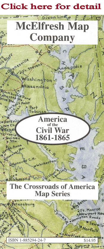
America of the Civil War 1861-1865

This map identifies and locates the 383 most significant battle sites of America's most significant historical event, the Civil War.
  • Scale: 1"=850'
  • Map Image: 16" x 20"
  • Overall size: 18" x 28"

Description: This map portrays what became the contiguous United States as it appeared in 1865. Inset maps of Tennessee and Virginia and a highly detailed map of the area around Richmond, Virginia provide a convenient guide to the battle sites of the Civil War. The reverse side reproduces five contemporaneous Civil War maps in full color with extensive captions including Jackson, MS, Harpers Ferry, WV, Franklin County, PA (detail), Hotchkiss Winchester, VA, United States Coast Survey Chattanooga, TN.

ISBN: 1-885294-24-7
Retail Price: $14.95
Anniversary Special:7.50
Packaged in reusable sleeve.

Copyright 1999-2016 McElfresh Map Co., LLC. All rights reserved.

    © Copyright McElfresh Map Company  


  home | about us | news | order | gallery          McElfresh Map Company         wholesale info | links | sitemap |search  
Civil War Maps                                                    Mapping Where Americans Made History™                                                    Battlefield Maps

The McElfresh Map Company Specializes in Civil War Watercolor Maps, and has created The American
Battlefield Watercolor Map Series
, The World Battlefields Watercolor Map Series & The Crossroads of American History
Designed by blumenthals.com
Blumenthals Olean, NY & Braford, Pa